
Hotline: 015 59 55 98
088 5999 009


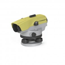
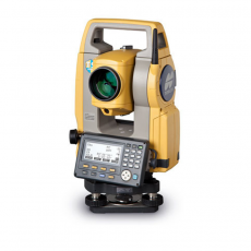
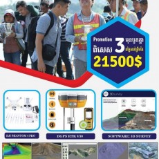
DGPS-RTK-GNSS

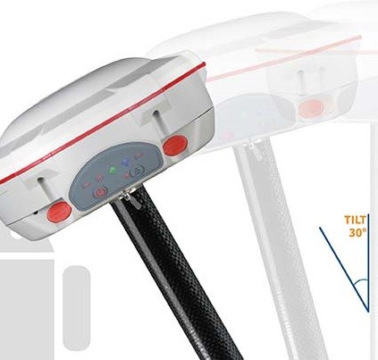
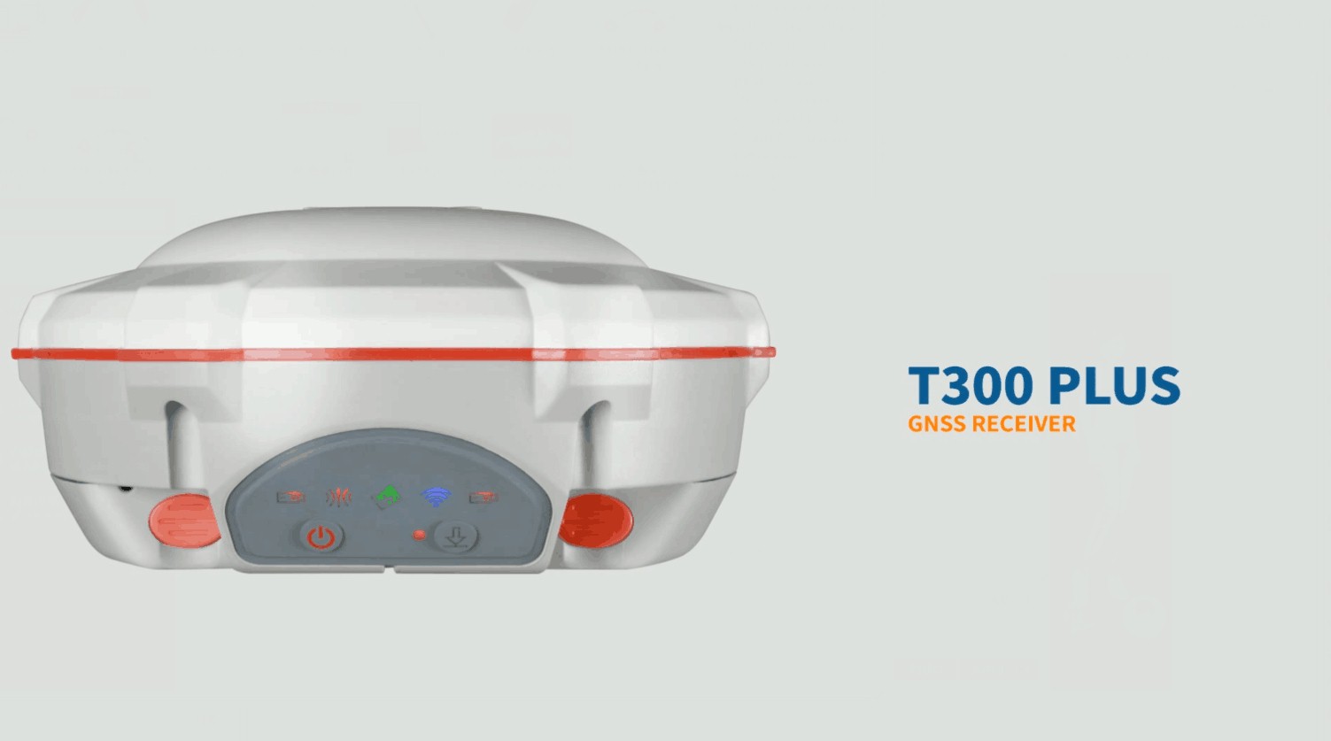
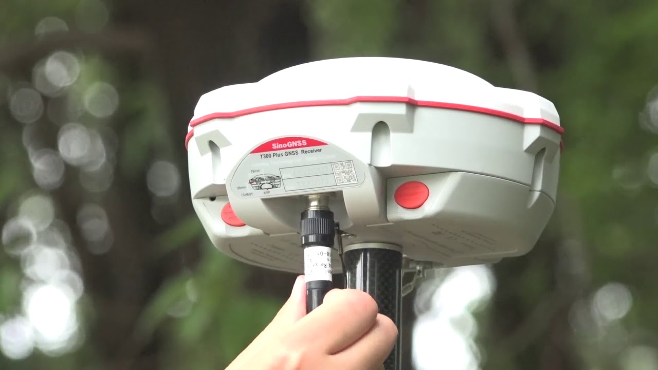
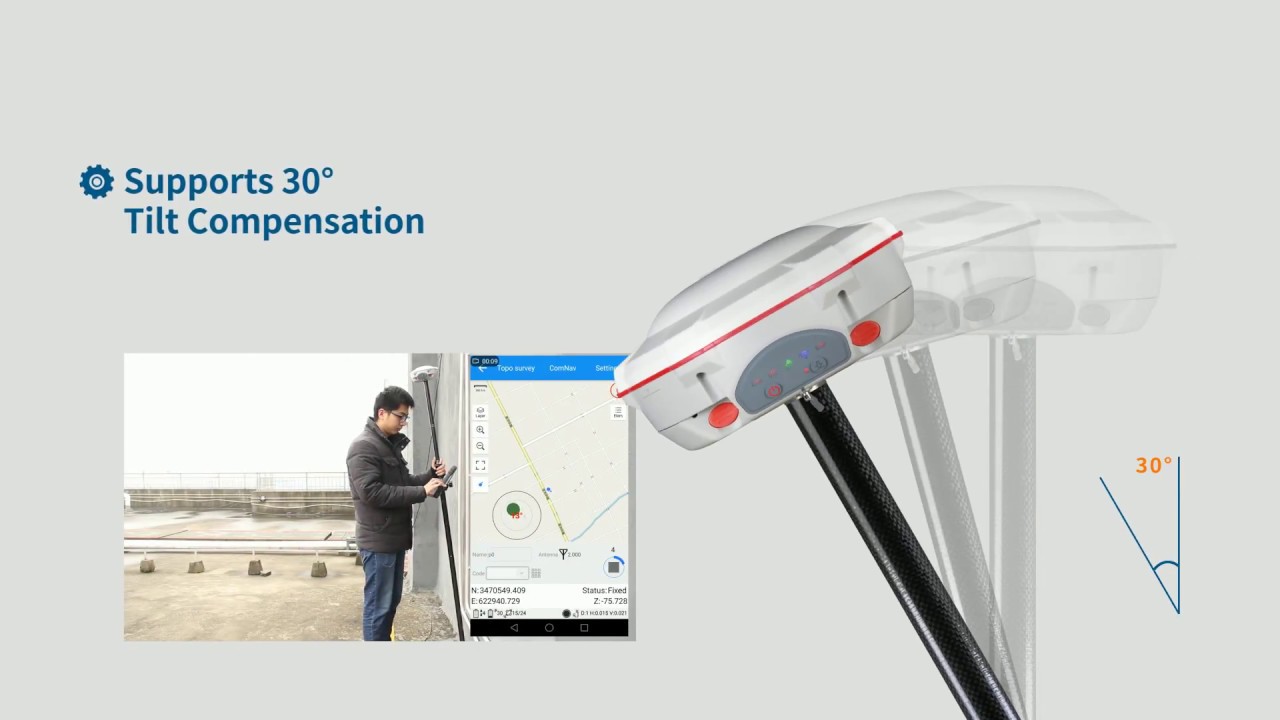
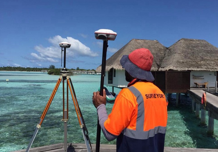
Featuring full-constellation tracking capability, tilt compensation, 4G/WiFi connection, 8 GB internal memory and easy survey workflow with Android-based Survey Master Software, the T300 Plus GNSS receiver is one of the most reliable choices for your demanding surveying tasks. Collect accurate data easier and faster no matter for beginners or professional surveyors.
· GPS L1/L2/L5, BeiDou B1/B2/B3, GLONASS L1/L2, Galileo, SBAS
· Advanced QUANTUMTM
· Technology WIFI/UHF/4G Modem
· Tilt Compensation
· Smart Battery Design
· Low Power Consumption
· Support Long Baseline E-RTK
Signal Tracking
Channels
572
GPS
L1, L2, L2C, L5
BeiDou
B1, B2, B3
GLONASS
L1, L2
Galileo
E1, E5a, E5b
QZSS
Reserved
SBAS
WAAS, EGNOS, MSAS, GAGAN
Performance Specifications
Cold start
<50s
Warm start
<30s
Hot start
<15s
Initialization time
10s
Signal re-acquisition
<1.5s
Initialization reliability
Typically>99.9%
Positioning Specifications
Post Processing Static
Horizontal: 2.5 mm + 1 ppm RMS
Vertical: 5 mm + 1 ppm RMS
Real Time Kinematic
Horizontal: 8 mm + 1 ppm RMS
Vertical: 15 mm + 1 ppm RMS
E-RTK (<100km)
Horizontal: 0.2 m + 1 ppm RMS
Vertical: 0.4 m + 1 ppm RMS
DGPS
< 0.4 m RMS
SBAS
1 m 3D RMS
Standalone
1.5 m 3D RMS
Communications
Communication port
Radio modem
Tx/Rx with full frequency range from 410-470MHz
Transmit power: 0.5-2W adjustable
Range: 1-5km
WIFI/4G modem
4G Bands: 800/900/1800/2100/2600 MHz 3G Bands: 900/2100 MHz
2G Bands: 900/1800 MHz
Support GSM, Point to Point/Points and NTRIP
Positioning data outputs
1HZ, 2HZ, 5HZ, 10HZ, 20HZ
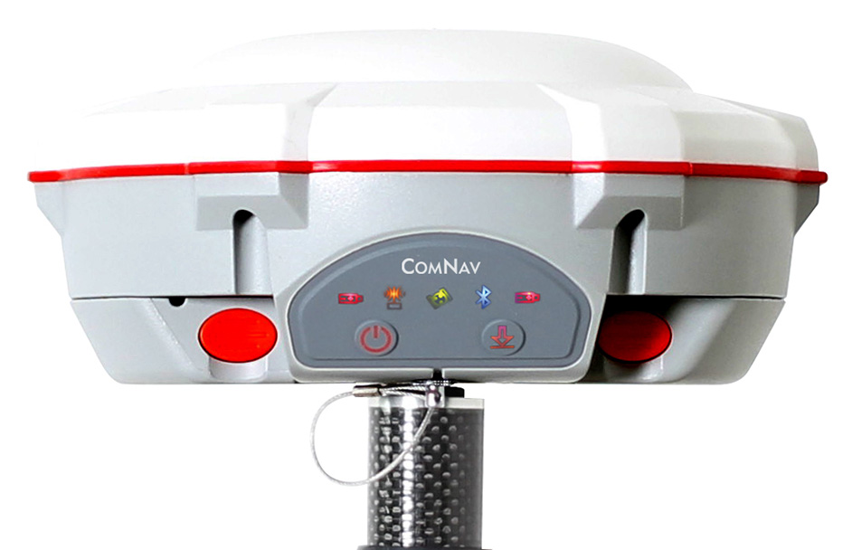
Indicating light
5 LEDs (indicating Power, Satellite Tracking, GPRS Status and Differential Data)
Bluetooth®
V 4.0 protocol, compatible with Windows OS and Android OS
Sensor
Tilt sensor
Data Format
Data inputs/outputs
Correction data I/O: RTCM2.x, 3.x,CMR(GPS only), CMR+(GPS only)
Position data outputs
ASCII: NMEA-0183 GSV, RMC, HDT, VHD, GGA, GSA, ZDA, VTG, GST, PJK, PTNL
ComNav Binary update to 20Hz
Physical
Size(W×H)
15.8cm×7.5cm
Weight
0.95kg(include two batteries)
Environmental
Operating temperature
-40 °C to +65 °C (40°F to +149°F)
Storage, , , , temperature
-40 °C to +85°C (40°F to +185°F)
Humidity
100% non-condensing
Waterproof and dust proof
IP67 protected from temporary immersion to depth of 1 meter, floats
Shock
Survives a 2-meter drop on to concrete
Electrical
Input Voltage
5-27 VDC
Power consumption
3.1 W(3 constellations)
Li-ion battery capacity
2x2000 mAh, Up to 9 hours typically
Memory
8 GB internal memory (16 GB and 32 GB is optional)
Software
CGSurvey
ComNav’s field data collection software
Survey Master
ComNav’s Android-based field data collection software
FieldGenius (optional)
MicroSurvey’s FieldGenius field data collection software
SurvCE (optional)
Carlson’s field data collection software
Signal Tracking
Channels
572
GPS
L1, L2, L2C, L5
BeiDou
B1, B2, B3
GLONASS
L1, L2
Galileo
E1, E5a, E5b
QZSS
Reserved
SBAS
WAAS, EGNOS, MSAS, GAGAN
Performance Specifications
Cold start
<50s
Warm start
<30s
Hot start
<15s
Initialization time
10s
Signal re-acquisition
<1.5s
Initialization reliability
Typically>99.9%
Positioning Specifications
Post Processing Static
Horizontal: 2.5 mm + 1 ppm RMS
Vertical: 5 mm + 1 ppm RMS
Real Time Kinematic
Horizontal: 8 mm + 1 ppm RMS
Vertical: 15 mm + 1 ppm RMS
E-RTK (<100km)
Horizontal: 0.2 m + 1 ppm RMS
Vertical: 0.4 m + 1 ppm RMS
DGPS
< 0.4 m RMS
SBAS
1 m 3D RMS
Standalone
1.5 m 3D RMS
Communications
Communication port
Radio modem
Tx/Rx with full frequency range from 410-470MHz
Transmit power: 0.5-2W adjustable
Range: 1-5km
WIFI/4G modem
4G Bands: 800/900/1800/2100/2600 MHz 3G Bands: 900/2100 MHz
2G Bands: 900/1800 MHz
Support GSM, Point to Point/Points and NTRIP
Positioning data outputs
1HZ, 2HZ, 5HZ, 10HZ, 20HZ
Indicating light
5 LEDs (indicating Power, Satellite Tracking, GPRS Status and Differential Data)
Bluetooth®
V 4.0 protocol, compatible with Windows OS and Android OS
Sensor
Tilt sensor
Data Format
Data inputs/outputs
Correction data I/O: RTCM2.x, 3.x,CMR(GPS only), CMR+(GPS only)
Position data outputs
ASCII: NMEA-0183 GSV, RMC, HDT, VHD, GGA, GSA, ZDA, VTG, GST, PJK, PTNL
ComNav Binary update to 20Hz
Physical
Size(W×H)
15.8cm×7.5cm
Weight
0.95kg(include two batteries)
Environmental
Operating temperature
-40 °C to +65 °C (40°F to +149°F)
Storage, , , , temperature
-40 °C to +85°C (40°F to +185°F)
Humidity
100% non-condensing
Waterproof and dust proof
IP67 protected from temporary immersion to depth of 1 meter, floats
Shock
Survives a 2-meter drop on to concrete
Electrical
Input Voltage
5-27 VDC
Power consumption
3.1 W(3 constellations)
Li-ion battery capacity
2x2000 mAh, Up to 9 hours typically
Memory
8 GB internal memory (16 GB and 32 GB is optional)
Software
CGSurvey
ComNav’s field data collection software
Survey Master
ComNav’s Android-based field data collection software
FieldGenius (optional)
MicroSurvey’s FieldGenius field data collection software
SurvCE (optional)
Carlson’s field data collection software